PROFESSIONAL TECHNOLOGY SERVICES | CENTRAL FLORIDA

PROFESSIONAL TECHNOLOGY SERVICES | CENTRAL FLORIDA

Aerial Intelligence. Ground-Level Security.

Drone mapping, aerial documentation and security camera solutions for businesses, property professionals and homeowners.

Drone mapping, aerial documentation and security camera solutions for businesses, property professionals and homeowners.

DATA

Intelligence outputs

UAS

Advanced platforms

AI

Future analysis

Mission

Transforming the way industries see, analyze, and protect their assets.

KRAXEN uses advanced aerial systems and intelligent data solutions to help businesses make faster, safer decisions across critical environments.

Platform mindset. Mission execution.

Not drone photography. Operational intelligence for commercial, enterprise, and government clients.

Critical Industries

Industries That Depend on Precision

Construction

Engineering

Energy
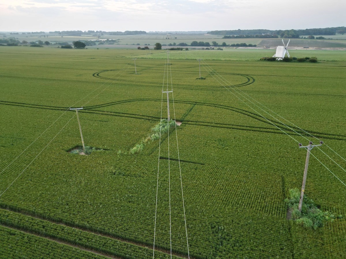
Infrastructure

Commercial Real Estate

Agriculture

Insurance

Government

Premium Aerial Intelligence Services

Drone & Aerial Solutions

Professional aerial imagery, mapping and visual documentation for construction, property and commercial applications.

Security & Surveillance Systems

Residential and commercial CCTV/IP camera installation, recording systems, upgrades and remote viewing configuration.

Construction

Construction Monitoring

Track progress, document milestones, and improve project visibility across active sites.

Construction

Construction Monitoring

Track progress, document milestones, and improve project visibility across active sites.

Inspection

Inspection Services

Capture detailed aerial data for roofs, structures, facilities, and infrastructure.

Inspection

Inspection Services

Capture detailed aerial data for roofs, structures, facilities, and infrastructure.

Thermal

Thermal Imaging

Identify heat loss, electrical issues, and hidden conditions with advanced sensor workflows.

Thermal

Thermal Imaging

Identify heat loss, electrical issues, and hidden conditions with advanced sensor workflows.

Mapping

Mapping & 3D Modeling

Create accurate aerial maps, orthomosaics, and digital models for technical teams.

Mapping

Mapping & 3D Modeling

Create accurate aerial maps, orthomosaics, and digital models for technical teams.

Real Estate

Real Estate Imaging

Deliver professional aerial media for commercial, luxury, and portfolio properties.

Real Estate

Real Estate Imaging

Deliver professional aerial media for commercial, luxury, and portfolio properties.

Industrial

Industrial Solutions

Support complex operations with scalable aerial intelligence and secure data delivery.

Industrial

Industrial Solutions

Support complex operations with scalable aerial intelligence and secure data delivery.

Advanced Systems. Intelligent Data. Better Decisions.

Platforms

Professional Drone Platforms

Mission-ready aircraft systems selected for safety, reliability, and industrial-grade capture.

Platforms

Professional Drone Platforms

Mission-ready aircraft systems selected for safety, reliability, and industrial-grade capture.

Imaging

High-Resolution Imaging

Detailed imagery that supports inspection, documentation, reporting, and analysis.

Imaging

High-Resolution Imaging

Detailed imagery that supports inspection, documentation, reporting, and analysis.

Sensors

Thermal Sensors

Specialized payloads for detecting anomalies beyond what standard imagery can reveal.

Sensors

Thermal Sensors

Specialized payloads for detecting anomalies beyond what standard imagery can reveal.

AI

Future AI-Powered Analysis

Structured data foundations for future automated inspection and predictive intelligence.

AI

Future AI-Powered Analysis

Structured data foundations for future automated inspection and predictive intelligence.

How Intelligence Becomes Action

01

Consultation

Understand project goals, site conditions, operational requirements, and decision needs.

01

Consultation

Understand project goals, site conditions, operational requirements, and decision needs.

02

Flight Operation

Capture professional aerial data safely, efficiently, and with disciplined execution.

02

Flight Operation

Capture professional aerial data safely, efficiently, and with disciplined execution.

03

Data Processing

Transform imagery and sensor capture into useful information and technical outputs.

03

Data Processing

Transform imagery and sensor capture into useful information and technical outputs.

04

Delivery

Provide professional reports, imagery, models, and insights built for operational use.

04

Delivery

Provide professional reports, imagery, models, and insights built for operational use.

Why KRAXEN

01

Precision

Capture and deliverables oriented around operational clarity, not visual spectacle.

01

Precision

Capture and deliverables oriented around operational clarity, not visual spectacle.

02

Reliable Operations

Disciplined field procedures, planning, and communication for critical environments.

02

Reliable Operations

Disciplined field procedures, planning, and communication for critical environments.

03

Enterprise Quality

Professional-grade outputs for commercial, industrial, and government stakeholders.

03

Enterprise Quality

Professional-grade outputs for commercial, industrial, and government stakeholders.

04

Fast Turnaround

Efficient capture and delivery cycles that keep project teams moving.

04

Fast Turnaround

Efficient capture and delivery cycles that keep project teams moving.

05

Scalable Solutions

Workflows that can grow from single-site inspection to recurring portfolio monitoring.

05

Scalable Solutions

Workflows that can grow from single-site inspection to recurring portfolio monitoring.

06

Mission-Focused

Everything is designed around the decision the client needs to make next.

06

Mission-Focused

Everything is designed around the decision the client needs to make next.

Clear Scope. Professional Execution.

Certified

FAA Part 107

Certified operations aligned with regulated commercial UAS requirements.

Certified

FAA Part 107

Certified operations aligned with regulated commercial UAS requirements.

Safety

Safety Procedures

Safety-focused planning, execution, and operating discipline.

Safety

Safety Procedures

Safety-focused planning, execution, and operating discipline.

Systems

Professional Equipment

Hardware and payloads selected for reliable field performance.

Systems

Professional Equipment

Hardware and payloads selected for reliable field performance.

Delivery

Reliable Data

Clear deliverables for teams that need confidence and speed.

Delivery

Reliable Data

Clear deliverables for teams that need confidence and speed.

Coverage

Insured Operations

Professional risk posture for commercial and critical work.

Coverage

Insured Operations

Professional risk posture for commercial and critical work.

We start by understanding your site, objectives and technical requirements, then recommend a practical approach and clear next steps.

Portfolio

Aerial Perspectives for Your Property & Project

Aerial imagery can bring construction progress, property context, and site conditions into clearer view. Tell us what you need to document, and we’ll discuss the right approach and relevant examples for your project.

Insights

Operational thinking for the future of aerial intelligence.

Construction

How drones are changing construction

Aerial intelligence is becoming part of the project control layer.

Construction

How drones are changing construction

Aerial intelligence is becoming part of the project control layer.

Inspections

The future of commercial inspections

Why remote capture and structured reports can improve asset decisions.

Inspections

The future of commercial inspections

Why remote capture and structured reports can improve asset decisions.

Technology

Drone technology vs traditional inspections

A look at safety, speed, access, cost, and data quality tradeoffs.

Technology

Drone technology vs traditional inspections

A look at safety, speed, access, cost, and data quality tradeoffs.

Intelligence

Benefits of aerial intelligence

How organizations use aerial data to make faster, safer decisions.

Intelligence

Benefits of aerial intelligence

How organizations use aerial data to make faster, safer decisions.

About KRAXEN

Precision, innovation, and professional execution for industries that need to operate smarter.

KRAXEN helps organizations solve operational problems with aerial systems, structured data, and a disciplined technology-first approach. The company is built around innovation, precision, problem solving, and enterprise-ready execution.

Precision

Innovation

Trust

Enterprise Capability

Ready to Elevate Your Property’s Technology?

Ready to Elevate Your Property’s Technology?

From professional drone services to security camera solutions, Kraxen Tech delivers technology designed around your property and project requirements.